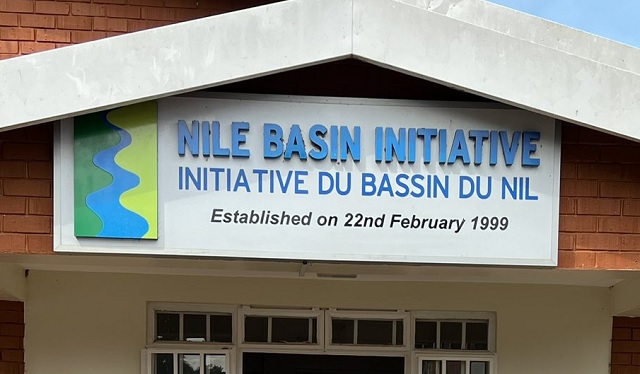
Kampala, Uganda | THE INDEPENDENT | Uganda needs over twenty-five billion shillings ($7 million) as contributions to the running of hydro-meteorological monitoring stations long River Nile.
The stations are known hydroMet systems under the Nile Basin Initiative are used to collect information needed for agricultural planning and monitoring among others.
They are also used in regulating hydraulic structures such as storage dams for hydropower generation. Equally crucial in those stations is the early warning for disaster preparedness such as floods and drought, waters navigation and water resources management and planning; air quality monitoring. HydroMet stations in Uganda have also been used in aviation operations, navigation, and many other human activities.
Acting Commissioner for Trans-Boundary Waters in the Ministry of Water and Environment, Sowedi Ssewagudede said 13 of such stations installed in the first phase of the project under the Nile Basin Initiative are functioning.
One of the stations was swept away by the recent floods at Katonga bridge along Masaka-Mbarara Highway. River Katonga is one of the rivers that contribute water to Lake Victoria and later to the River Nile.
Ssewagudde told a journalist in Kampala that hydroMet stations have contributed a lot in terms of data and information about the water levels and early warning in Uganda and other Nile basin countries
He was among experts who met in Kampala to discuss how to sustain the hydroMet stations in the 10 countries along the River Nile. All ten countries under the Nile Basin Initiative are expected to contribute seven million to keep the stations running so that they can share data on shared water resources and weather monitoring systems.
According to Ssewagudde, NBI member states, work together to formulate common Nile water resource policies and to replicate efforts for protecting and maintaining the Nile for the good of the people in the region.
“It doesn’t help if Rwanda or Kenya is doing well and Uganda is not doing the same, so we help countries to develop similar policies, and we have been able to develop guidelines for assessing environmental flows for example if a partner state is to get water from the river, we determine how much it should use, to leave enough for the downstream users, including the ecosystem” Ssewagudde explained.
The Nile Basin Initiative has since 2010 been pushing for the “hydromet” system but it has not taken off as expected due to funding problems. The systems, according to the secretariat based in Entebbe help the member countries to know how much water is available and where to them e us have a water accountability system. A central database for capturing and storing observations has been planned to be fed by 60 hydrological stations in select areas in the 10 countries.
The Executive Director of the NBISecretariat, Eng. SylvesterAnthony Matemu said that the climate change challenge has pushed the organization’s secretariat to come up with a strategy to ensure water, energy, and food security, climate adaptations, environmental protection, and trans boundary cooperation.
He added that the HYDROMET stations were put in place to effectively monitor the river Nile water, for effective usage, and support climate change adaptations.
“The ministers agreed that we must have a common understanding of what is available in the Nile, like water for irrigation, hydropower generation and to come up with water scenarios, as we plan to install 60 monitoring stations all over the basin.”
According to Matemu, one of the challenges faced is the failure by some countries to willfully share what could have been collected from the station installed within their territories, but this is being worked upon. According to the survey conducted by NBI in 2014, there were approximately 949 meteorological and 427 hydrological stations in the Nile Basin. Over 70 percent of the meteorological stations measure either daily rainfall totals or rainfall and temperature.
Most hydrological stations measure river or lake water levels. Monitoring of water quality, sediment transport in rivers, and groundwater are at their early stages in most countries.
*****
URN
 The Independent Uganda: You get the Truth we Pay the Price


Have you tried other financial companies and you seem to be struggling to meet up? Or you are up but now scared of going down? Are you looking for another source of income?
Here is the solution:
Interested to know more?
visit: thenewglobalreserve. com for details